
Tuesday, April 9th, 2024
On Zoom OnlyHosted by UD-GIS. All are welcome to attend on Zoom.
MEETING AGENDA
- Presentation
- Earth Day Mapathon
- Upcoming Conferences
- Round table discussion
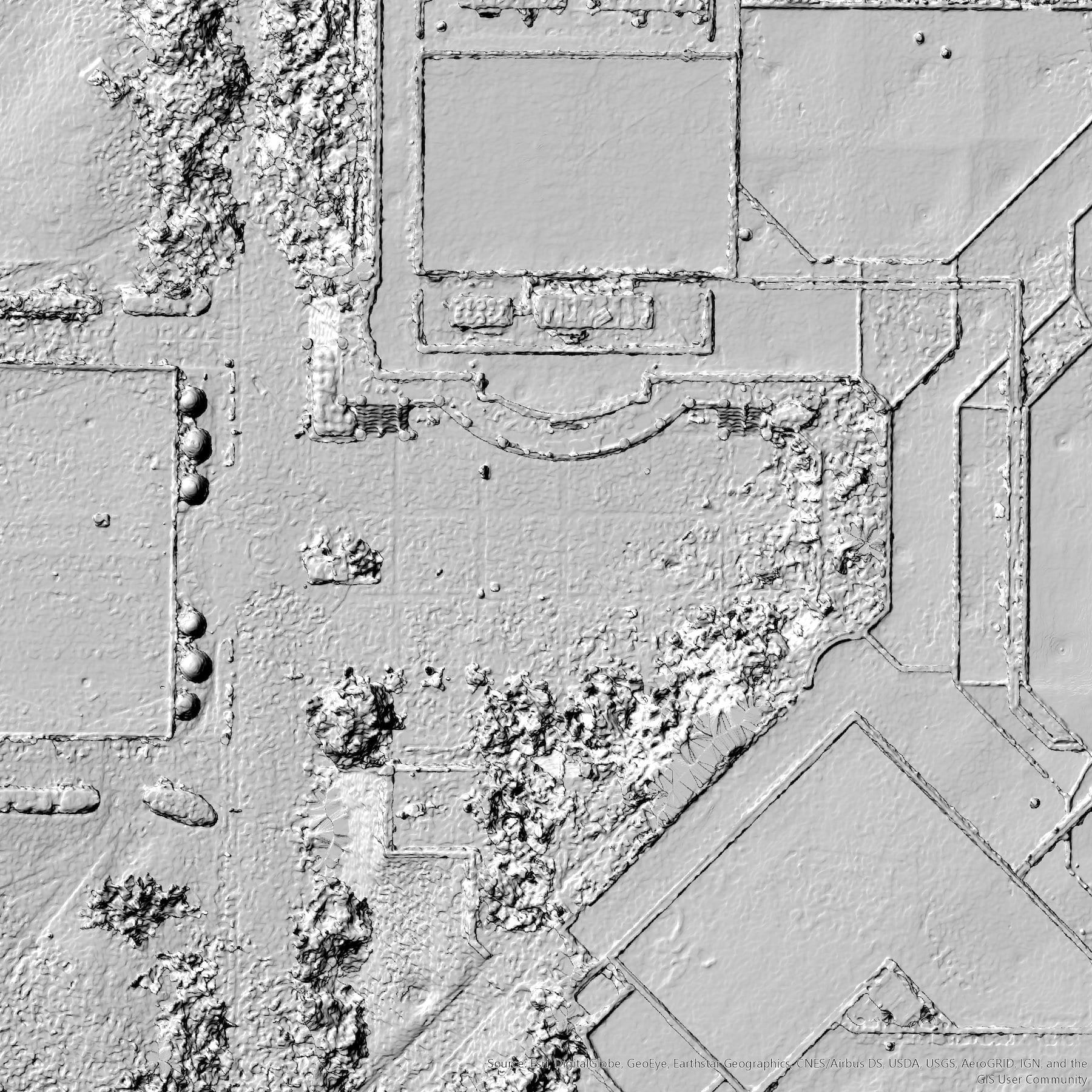
Drone Diaries: Navigating the Skies with GIS Mapping
In this presentation, attendees will delve into the innovative applications of drone technology beyond traditional aerial photography. The focus will be on showcasing how drones equipped with specialized cameras can revolutionize mapping efforts, particularly in urban environments such as the Monroe Park Campus. The presentation will highlight the creation of high-resolution 3-D models and orthophotos through meticulous mapping, with implications for intelligence operations, emergency response planning, and facility management. Attendees will explore the transformative potential of GIS mapping and the critical role of drones in advancing spatial analysis and decision-making processes.

Will Shuart, Geographer with the Army Corps of Engineers Geospatial Research Laboratory
William Shuart received the B.S. and M.S. degrees in environmental studies from Virginia Commonwealth University (VCU), Richmond, VA, USA, in 1997 and 2001, respectively. He is currently a Geographer with the Army Corps of Engineers Geospatial Research Laboratory, Corbin Field Station, Woodford, VA, USA, and also holds an Assistant Professorship with Virginia Commonwealth University in Life Sciences at the Rice Rivers Center. His research interests include incorporating technology into the environment, using sUAS for mapping, analysis, and artificial intelligence and cartography. Shuart authored a chapter in the book GIS for Science published by ESRI on GeoAI and several peer reviewed articles incorporating sUAS for monitoring and surveying. He was the recipient of several awards for cartography and geospatial analysis over his career. Will’s work is highlighted on the VCU website and in the recent article.