Check out the recent UDaily article about our collaboration with Princeton University researchers to map migratory stopover in the eastern U.S.
“Underscoring the conservation value of these stopover sites, the study indicates that the protection of forested land is necessary, particularly in landscapes dominated by agriculture, to create a network of suitable habitats through which songbirds can travel. As many bird populations face rapid declines, stopover site preservation could help ease the burden of an otherwise vulnerable migration journey and help sustain healthy bird populations.”
Tag: Radar
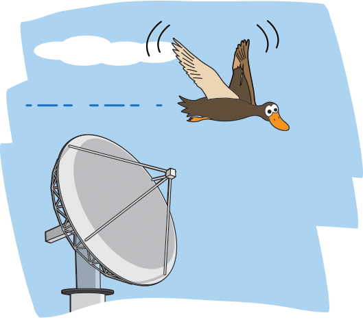
Here’s a link to a web piece about our new research project using NASA radar to study bird migration patterns. It’s for a NASA educational website about space and Earth science targeted at upper elementary school students.
http://spaceplace.nasa.gov/birds/
The final report from the radar project to map bird stopover in USFWS Region 4 is now posted
The final report from the radar project to map bird stopover in USFWS Region 5 is now posted on the USGS ftp site ftp://ftpext.usgs.gov/pub/er/md/laurel/Dawson/R5FallStopover_FinalReport/
© 2024 Aeroecology Program
Theme by Anders Noren — Up ↑