Temporal Imaging of the Intertidal Critical Zone (Tom McKenna, Jack Puleo and Chris Meehan; NASA EPSCoR; 06/01/2010 – 05/31/2011)
Characterizing Riverine Environments Through Remote Sensing (Jack Puleo and Tom McKenna; ONR; 03/01/2010 – 02/28/2011)
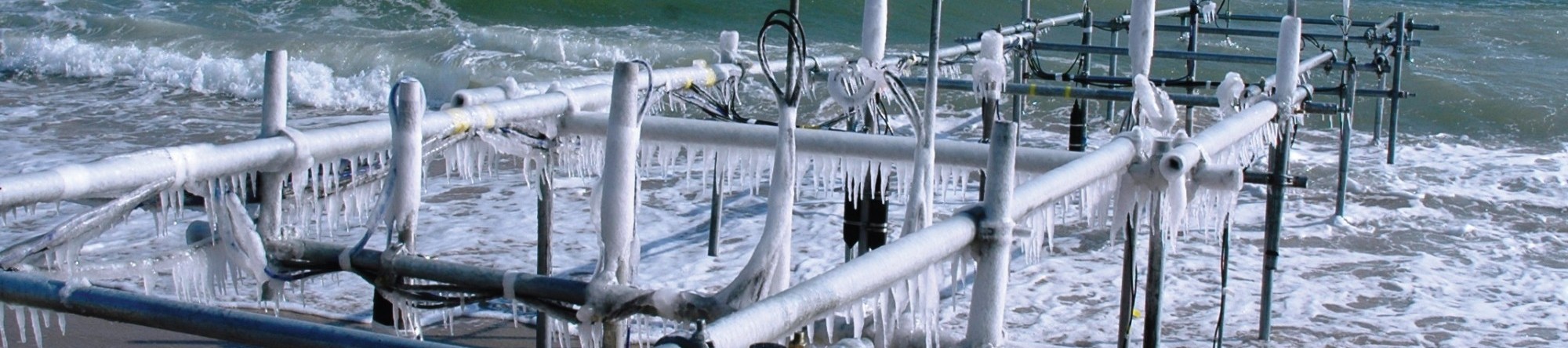
SANDCam at Rehoboth Beach (Jack Puleo; DNREC; 06/01/2009 – 05/31/2010)
Temporal Imaging of the Intertidal Critical Zone (Tom McKenna, Jack Puleo and Chris Meehan; NSF EPSCoR; 02/01/2009 – 01/31/2010)
Quantifying Reductions in Greenhouse Gas Emissions with Airship-Based Measurements (Paul Imhoff, Michael A. O’Neal, Jack Puleo, Chris L. Meehan and Steve Dentel; UDRF; 12/01/2008 – 11/30/2009)
Temporal Remote Sensing of Salt Marsh Inundation at Webbs Marsh in the Murderkill River Estuary, Delaware (Tom McKenna, Jack Puleo and Michael O’Neal; Kent COunty, Delaware; 09/15/2007 – 01/30/2009)
Low Altitude Environmental Analysis Dirigible (LEAD) (Michael O’Neal and Jack Puleo; Private Donor; 09/01/2007 – 08/31/2008)
SANDCam at Rehoboth Beach. (Jack Puleo; DNREC; 07/01/2007 – 06/30/2009)
- Pearre, N.S. and J.A. Puleo. 2009. Quantifying seasonal shoreline variability at Rehoboth Beach, Delaware using automated imaging techniques. Journal of Coastal Research, 900-914.
- Puleo, J.A., L. He, N. Pearre, L. Schmied, M. O’Neal, L. Pietro and M. Fowler, 2008. A single-user sub-aerial beach profiler, Journal of Coastal Research, 24, 1080-1086.
Pilot Study on the Use of Terrestrial LIDAR for Rapid, High-Resolution Beach Monitoring (Michael O’Neal, Jack Puleo and Art Trembanis; DNREC; 11/01/2005 – 10/31/2006)
Nearshore Video Imaging Analysis System At Rehoboth Beach (Jack Puleo; DNREC; 05/01/2005 – 04/30/2007)